


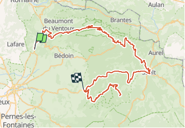

9,1 km | 13,9 km-effort


Utilisateur


Application GPS de randonnée GRATUITE
 SityTrail
IGN / Instituts géographiques
SityTrail World
Le monde est à vous
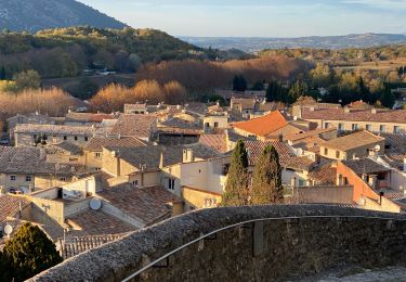
Randonnée Moto de 114 km à découvrir à Provence-Alpes-Côte d'Azur, Vaucluse, Le Barroux. Cette randonnée est proposée par patxargi.
Depart Avignon----Mallaucene ----VENTOUX------descente vers SAULT-----Remonté gorges de la nesque.....descente par le même chemin......ETXEA

Marche
Marche

Marche

Marche

Course à pied

Marche
Marche
Marche
Marche